
Department of Land Management and Landscape Architecture

Department of Land Management and Landscape Architecture

Department of Land Management and Landscape Architecture

Department of Land Management and Landscape Architecture
Department of Land Management and Landscape Architecture
Department of Land Management and Landscape Architecture
Laboratories
Digital Cultural Heritage Laboratory
The Digital Cultural Heritage Laboratory was established by the Rector of the University of Agriculture in Kraków (Order No. 22/2020 of 27 February 2020). The head of the laboratory is dr inż. Karol Król. The Digital Cultural Heritage Laboratory investigates digitalisation, archiving, and promotion of cultural heritage. See our research offer.
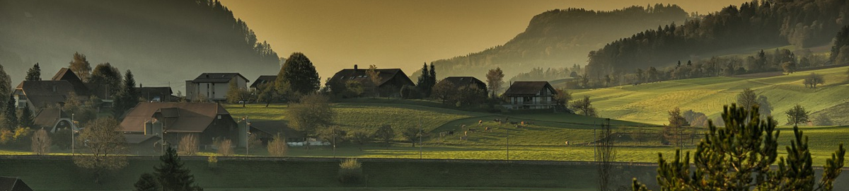
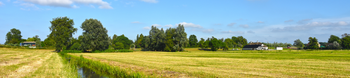
The Digital Cultural Heritage Laboratory investigates digitalisation, archiving, and promotion of cultural heritage, including tangible and intangible remnants of rural cultural past. The laboratory research focuses on four domains: identification and acquisition, digitalisation and archiving (storage), management and sharing (digital) of cultural heritage assets.
Spatial Information Laboratory
The Spatial Information Laboratory was established by the Rector of the University of Agriculture in Kraków (Order No. 23/2020 of 27 February 2020). The head of the laboratory is dr hab. inż. Tomasz Salata, Professor of the University of Agriculture. The laboratory research involves analyses related to spatial planning, management, and governance, cultural landscape, and spatial policy. The research focuses on large-scale spatial information processing from individual case studies to international analyses.Publications based on the laboratory’s resources:
- Cegielska K., Kukulska A., Salata T., Piotrowski P., Szylar M. 2018. Shannon entropy as a peri-urban landscape metric: concentration of anthropogenic land cover element, Journal of Spatial Science, nr online, 1-21, DOI:10.1080/14498596.2018.1482803
- Siejka M., Mika M., Salata T., Leń P. 2018. Algorithm of land cover spatial data processing for the local flood risk mapping, Survey Review, 50, 362, 397-403, DOI:10.1080/00396265.2017.1287620.
- Wałęga A., Salata T. 2019. Influence of land cover data sources on estimation of direct runoff according to SCS-CN and modified SME methods, Catena, 172, 232-242, DOI:10.1016/j.catena.2018.08.032.
- Grešlová P., Štych P., Salata T., Hernik J., Knížková I., Bičík I., Jeleček L., Prus B., Noszczyk T. 2019. Agroecosystem energy metabolism in Czechia and Poland in the two decades after the fall of communism: From a centrally planned system to market oriented mode of production, Land Use Policy, 82, 807-820, DOI:10.1016/j.landusepol.2019.01.008.
- Prus, B.; Wilkosz-Mamcarczyk, M.; Salata, T. Landmarks as Cultural Heritage Assets Affecting the Distribution of Settlements in Rural Areas—An Analysis Based on LIDAR DTM, Digital Photographs, and Historical Maps. Remote Sens. 2020, 12, 1778.
Raw data
In 2009, the Department of Land Management and Landscape Architecture acquired a spatial data server. Students of Land Surveying and Cartography, Land Management, or Landscape Architecture use it to learn and work in such a way that each object has its proper format and can be used by undergraduates, graduates, and PhD students in their theses. The Spatial Information System created by our students has a real impact on teaching and research. It also provides our department with an exceptionally accurate map of land cover (over ten times more accurate than the map of the Surveyor General of Poland) based on a high-quality orthophoto from the Head Office of Geodesy and Cartography. Moreover, the Spatial Information Laboratory has a collection of digital local zoning plans for all municipalities in the Małopolskie Voivodeship. It is a precious spatial policy dataset that even heads of districts or voivodeships do not have. The database is used mostly for educational purposes, but it has recently yielded more tangible effects as a source of data for GIS research.